- This event has passed.
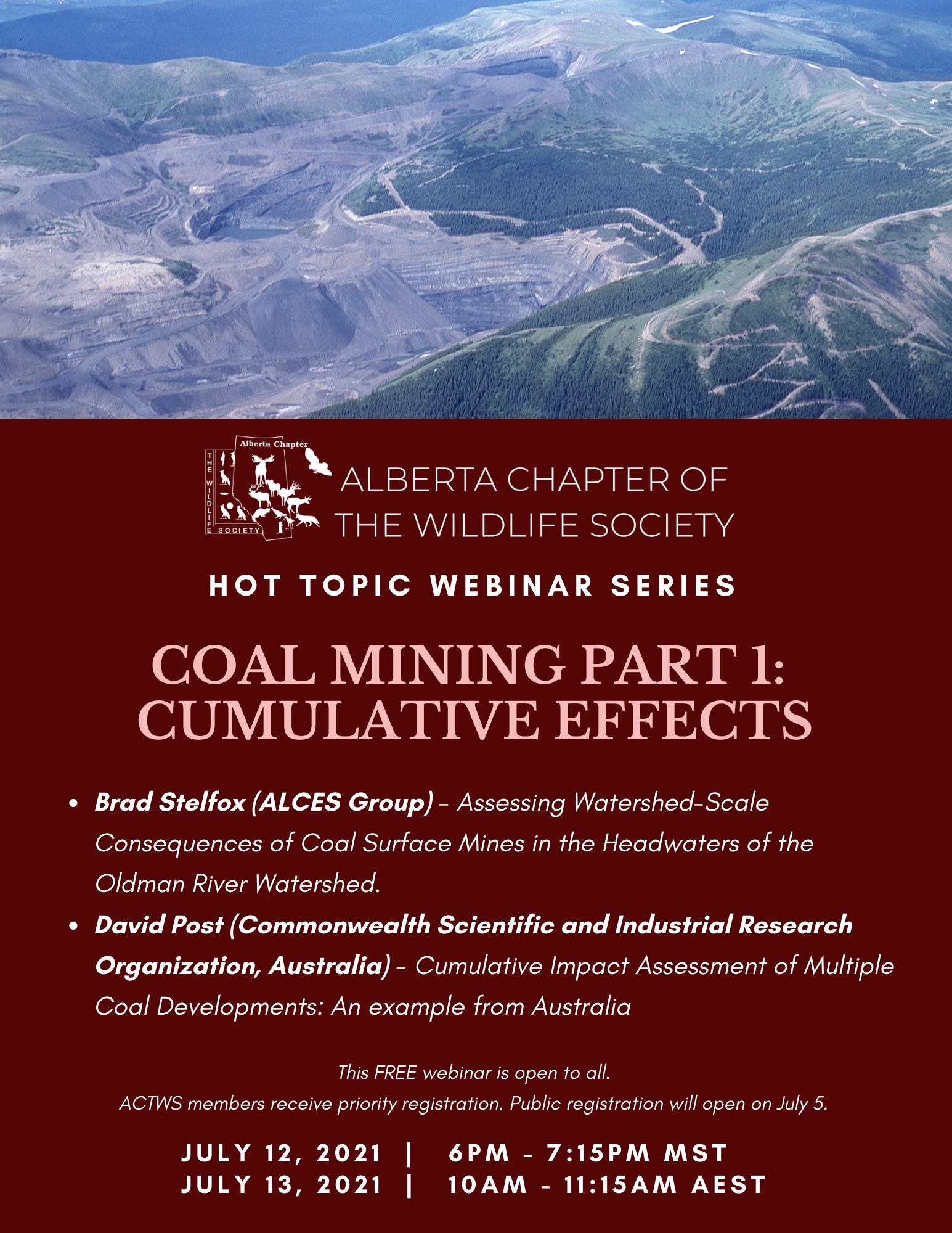
Webinar – Coal Mining Part 1: Impacts and Cumulative Effects
2021-07-12 @ 18:00 – 19:15 MDT
Webinar Summary
Part 1 of our coal mining webinar was also our first international webinar as we welcomed Dr. David Post from CSIRO to our zoom channel. David was joined by Dr. Brad Stelfox, who many ACTWS members are familiar with for his work modeling cumulative effects across Alberta.
We started with Dr. Brad Stelfox presenting his latest work, Assessing Watershed-Scale Consequences of Coal Surface Mines in the Headwaters of the Oldman River Watershed (ORW). Brad’s research focused on water quality, water quantity, and the conservation of Westslope Cutthroat Trout. In the ORW, water has been a key issue since the 1930s and is becoming increasingly so as climate change impacts become more apparent. Brad used Alces and Raven models to explore the consequences of different levels of coal mining over a 5-decade period. He examined the proposed footprint of 8 mines (~94km2) and described how the extracted 6 billion m3 of rock would destroy or alter at least 32km2 of surface water and associated riparian habitat. Water allocation for these mines would alter total and seasonal flow of the ORW; some impacts could be mitigated if coal companies stored water from the spring for use in lower flow time (summer/fall) of the year. However, with climate change, annual patterns of stream flow will shift and that could further exacerbate the stress of water use from coal mines on headwater streams. The reduction in aquatic and riparian habitat would cause a substantial reduction in the amount and suitability of habitat for trout and the population would be expected to decline significantly. The proposed mines could also threaten the viability of larger landscape corridors, including the Yellowstone to Yukon ecosystem. Brad concluded by emphasizing that if society wants to maintain large landscape connectivity, the lands of the eastern slopes are critical.
Dr. David Post shared with us his work that was part of a $62 million commitment of the Australian government over 5 years to better understand the potential cumulative impacts of coal seam gas and mining on water. The project objectives were to identify areas where impacts were unlikely to occur, and to be transparent in their work and recommendations. David’s team assessed 7 mines in the Galilee region of eastern Australia, which was slated to contain a mix of above ground and underground mining. They defined a zone of potential hydrological change on ground and surface water and found that cumulative hydrological changes are very likely and will extend farther than previously estimated from studies examining individual mines in isolation. To arrive at that conclusion, David’s team built a conceptual model of the ecosystem and explicitly represented uncertainty by incorporating a range of parameter values. They used this range to report on the 5th percentile, 95th percentile, and median impacts. They found that surface water demonstrated an increase in cease-to-flow flow days, which would change the hydrologic characteristics of the river in a typically arid area. When they compared their results to natural variation, they found that in some areas of the watershed there were substantial changes that could result in impacts to key environmental assets. Their results led to recommendations that improved mining practices, particularly in terms of monitoring and reporting impacts to the Australian government.
Webinar Results
The webinar was attended by 25 people on zoom and 10 people over Facebook live; 86% of attendees thought the information was useful and 93% of participants said they would recommend an ACTWS webinar to their network. Thanks so much to all who attended.
See the Webinar!
A video of the webinar is posted in our members area.
Sponsor a webinar!
We are always looking for corporate sponsors for our webinar series. Call Sarah if you’d like more information.
Speakers and Abstracts:

In 1995, Dr. Stelfox started the ALCES modeling platform and Group, which focuses on the interface between human land uses and regional landscapes. The major development stream has been ALCES Online© (A Landscape Cumulative Effects Simulator) a simulator rapidly gaining acceptance by government, industry, the scientific community, and NGOs to explore issues between landscapes, land uses, and ecological and economic integrity. Today, the ALCES Group is a collection of ecologists, landscape planners, and resource analysts whose mission is to be a world leader in the delivery of land use cumulative effects simulation modelling tools, strategic land use planning advice, and the provision of practical strategies to assist government, business, and society in making balanced, informed decisions. Dr. Stelfox received the William Rowan Award (The Wildlife Society) in 2011, the Outstanding Leadership Award of the Canadian Boreal Initiative (2009), the Alberta Emerald Foundation Award (2004), and the Alberta Science and Technology Award (2003) for his contributions with the ALCES model in advancing understanding of land use sustainability issues, and in seeking solutions that balance economic, social, and ecological indicators.
Assessing watershed-scale consequences of coal surface mines in the headwaters of the Oldman River Watershed
This study was conducted at the request of the Livingstone Landowners Group (LLG), which expressed concern about the consequences of large-scale surface mining of coal proposed in the headwaters of the Oldman River Watershed. These new proposed mines represent an abandonment of the Lougheed era coal policy that prohibited mining of coal in Category 2 lands of Alberta’s East Slopes. Although the range of LLG’s concerns is broad, their central focus for this project is on water quality (selenium), water quantity (supply/demand), and a threatened species (Westslope cutthroat trout) whose conservation depends on watershed integrity.
To address these concerns, we used a simulation approach (integration of the Alces and Raven models) to explore the consequences of different levels of coal mining (no production, medium production (2 mines, ~5.875 MTA/yr), high production (8 mines, ~23.95 MTA/yr)) over a 5-decade period (2022-2072). A “low” coal scenario represented a future without any new coal mining in the ORW. The “medium” scenario examined the two coal mine projects (Grassy Mtn, Tent Mtn) that are most imminent and furthest along in their regulatory approval. The upper limit of the scenarios (“high” production) was limited to the 8 existing proposed coal mine projects that have acquired leases in the ORW, sought investor funding, and submitted details concerning project location, coal reserves, production, and lifespan. Because climate change is an important factor influencing water supply, we also examined the complicating effects of GHG-induced changes to climate and water supply/demand in the ORW.

Dr. Post has been a research scientist with CSIRO since 1999 and his research interests focus broadly on the impacts of landuse and climate change on water resources, as well as on the regionalization of hydrologic response to ungauged areas. He has a PhD in Resource Management from the Australian National University. Until recently, he was project leader of the Bioregional Assessment Program, investigating the impacts of coal seam gas and coal mining on water resources and water-dependent assets. Currently he is the Murray-Darling Basin coordinator. In 2013, Dr. Post was elected President of the Modelling and Simulation Society of Australia and New Zealand (MSSANZ), a position he continues to hold today.
Cumulative impact assessments of multiple coal developments: an example from Australia
In this presentation, I will provide an assessment of the cumulative impacts of proposed coal mines in the Galilee region of eastern Australia. Surface water and groundwater modelling was carried out to assess the cumulative regional-scale impacts of multiple coal mines. Uncertainty in the modelling was also considered, and the results are presented as the median and plausible range from thousands of simulations. The results indicate that under the best-case (5th percentile) scenario, the impact of the proposed coal resource developments can be quite small. However, under the worse-case (95th percentile), groundwater drawdown is very likely for up to 5 km from the coal resource developments, but unlikely beyond 20 km. Altered surface water characteristics can extend for many kilometers downstream, particularly in unregulated systems. Impacts of these changes on ecosystems and key ecological assets were also considered, and a couple of pertinent examples will be provided.